


Antique Roman Empire World History Map A J Nystrom Pull Down Wall Map 50"
Sold
Shipping:
Free Shipping Included
Delivery:
Estimated 2-15 Business Days
Payments:
Credit Card, Check, Cash, PayPal, Apple Pay, Venmo
Returns:
30 Days 100% Money Back Guarantee, Buyer Pays Return Shipping
Description
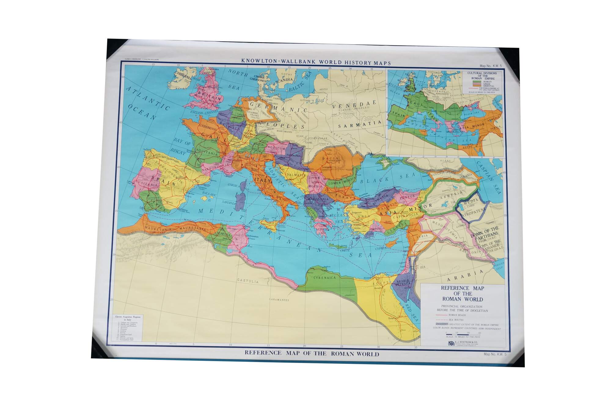
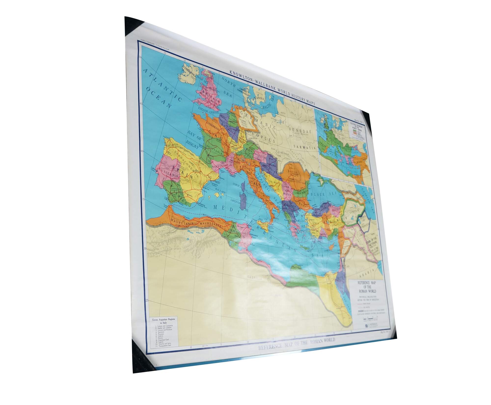
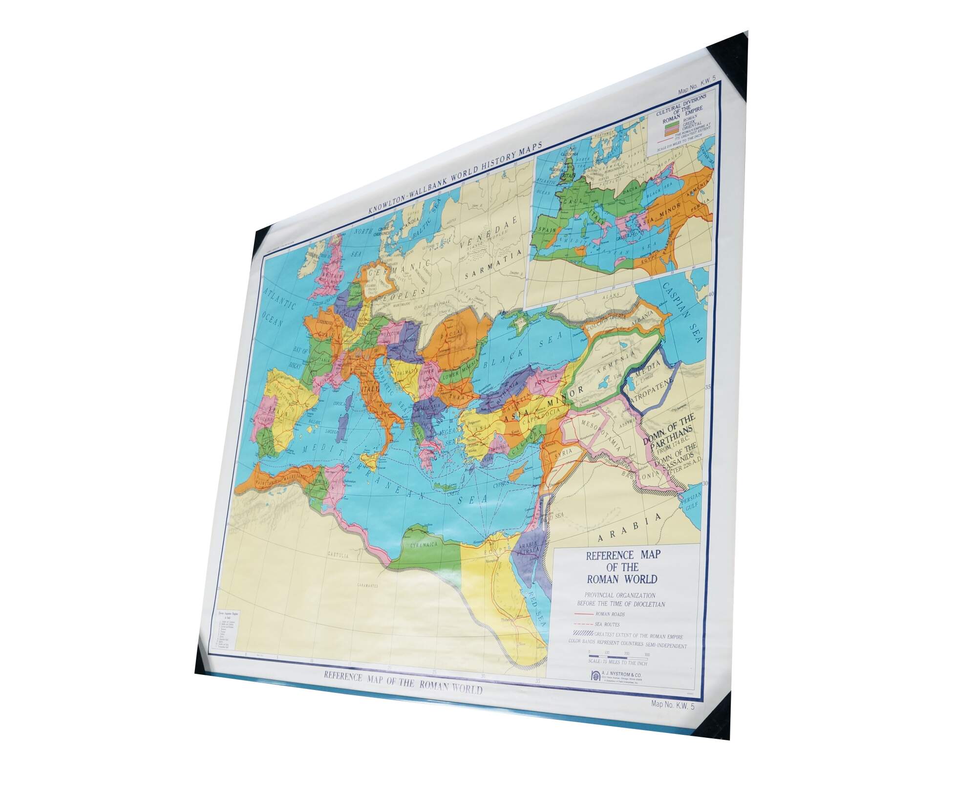
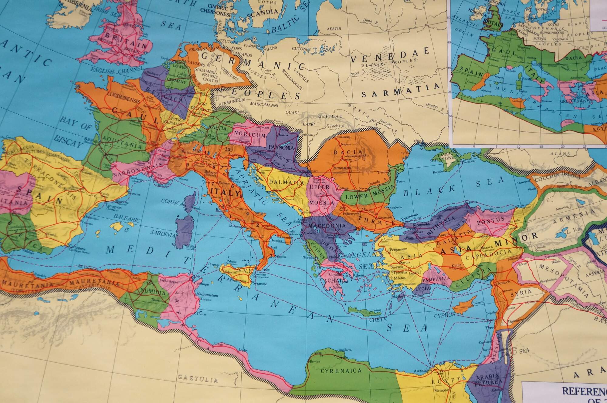
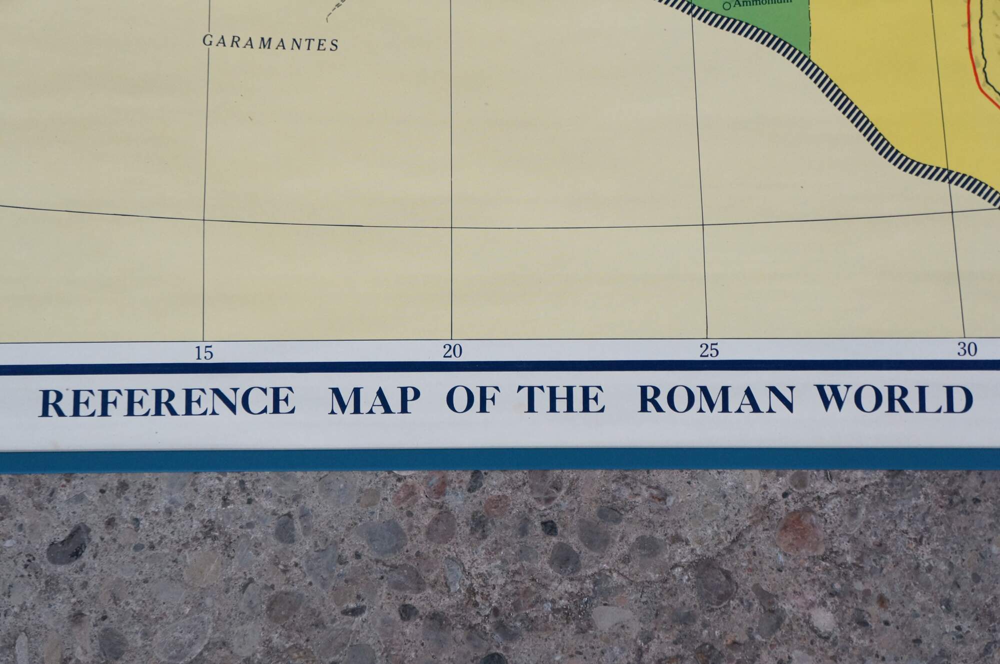
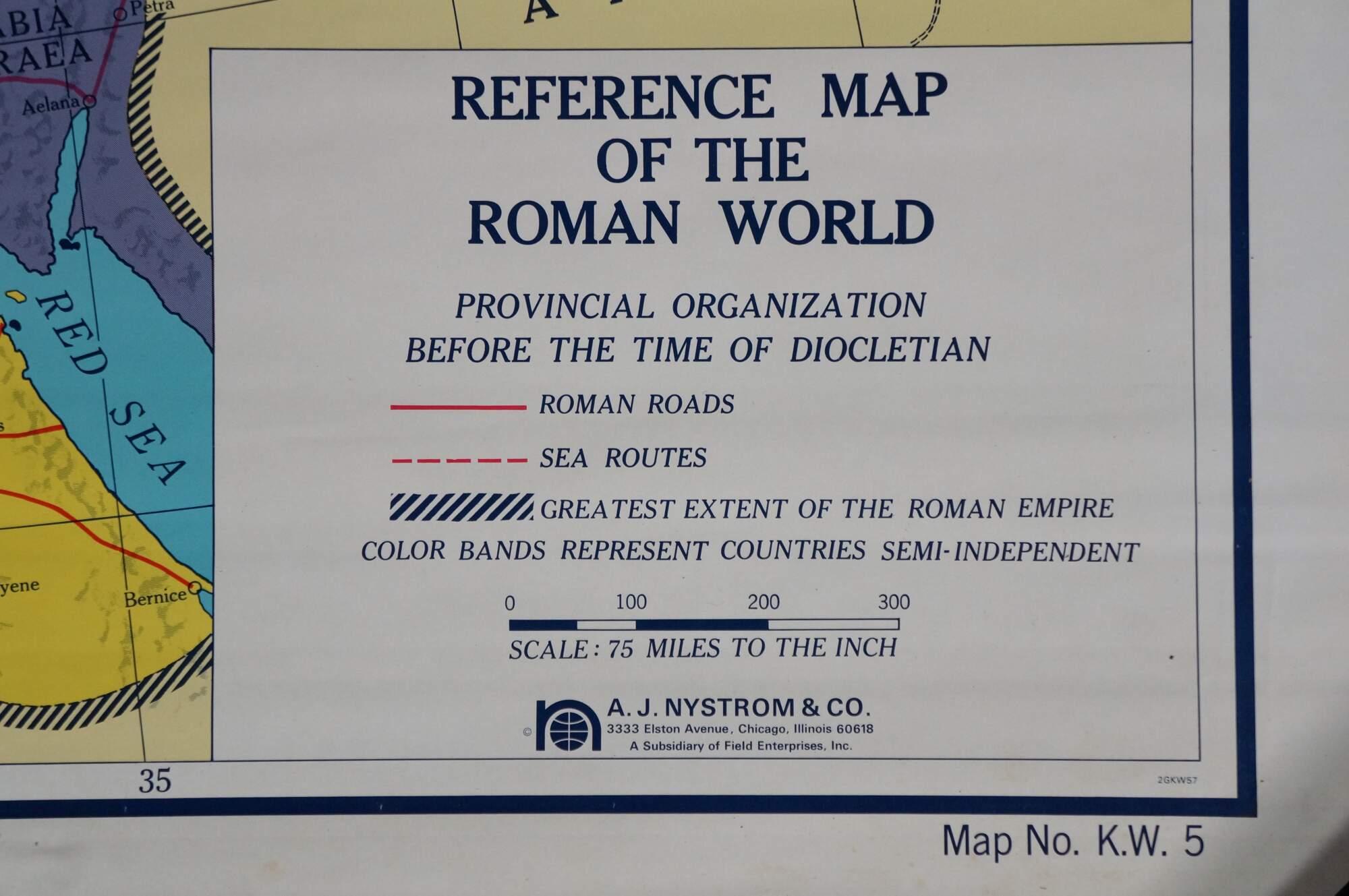
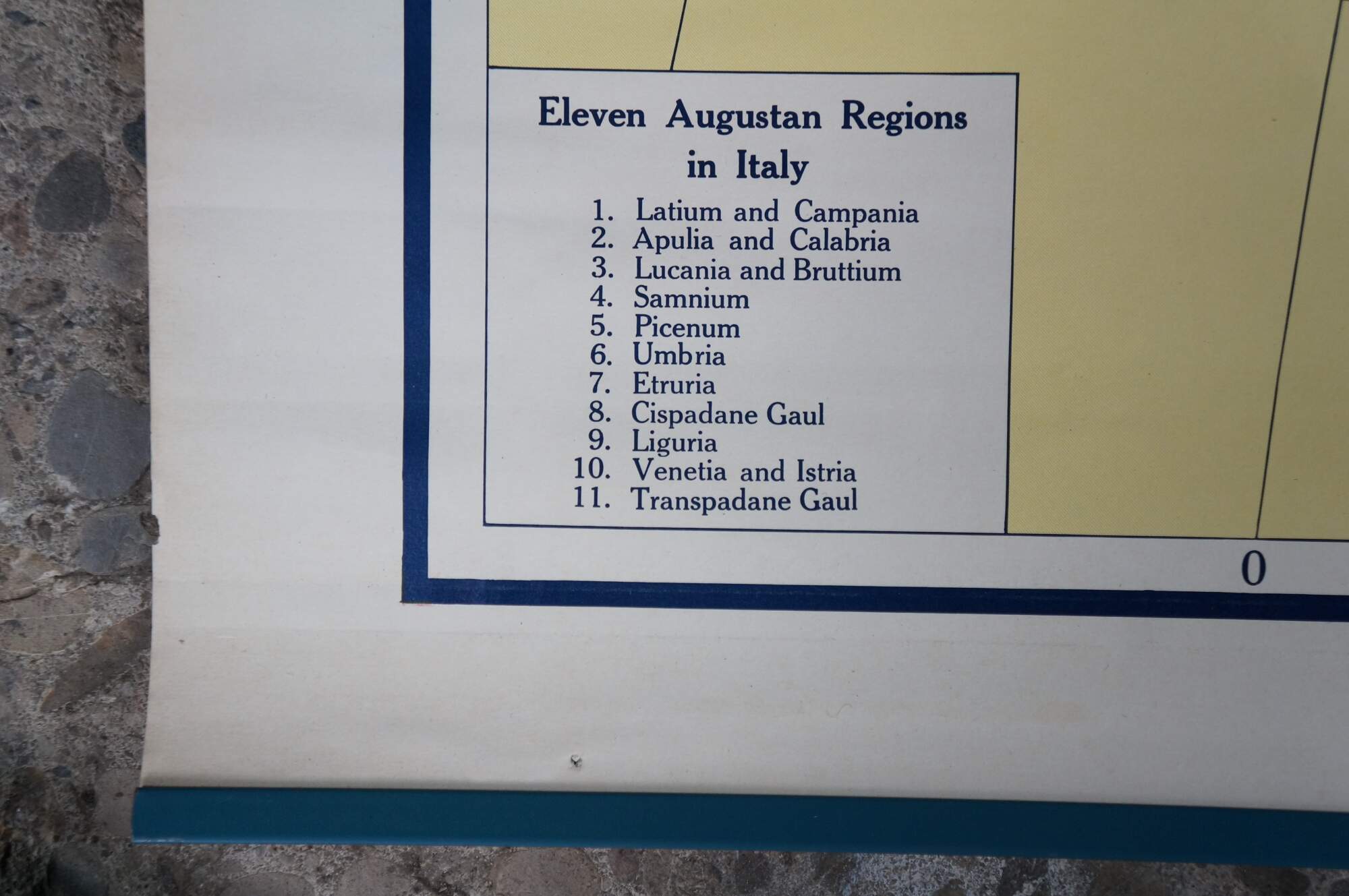
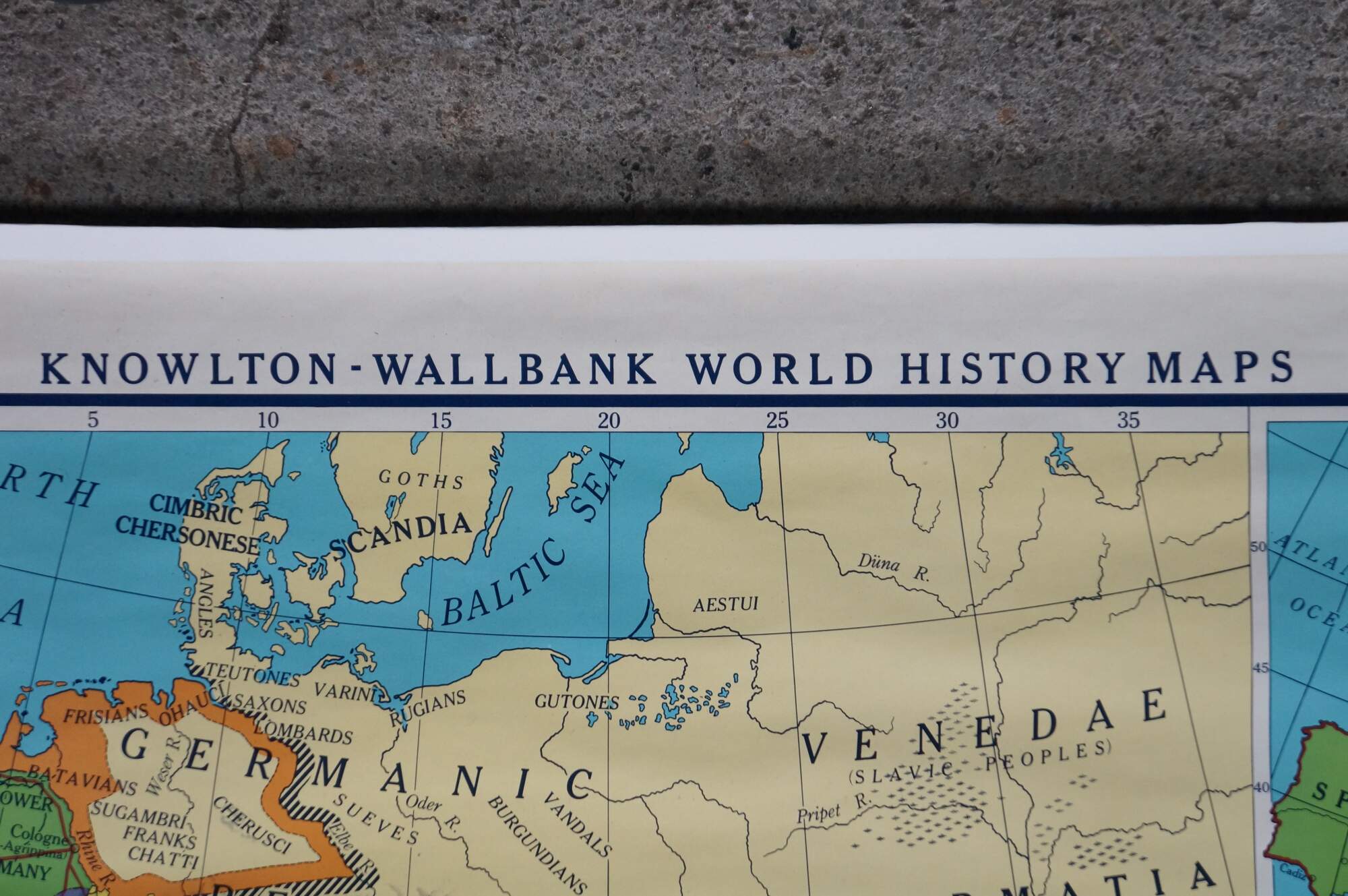
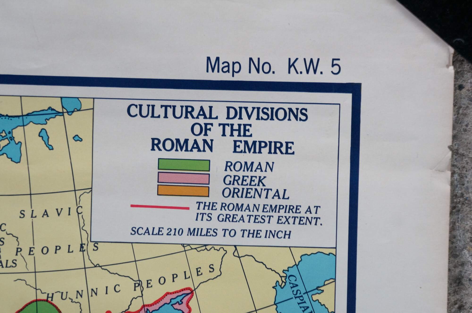
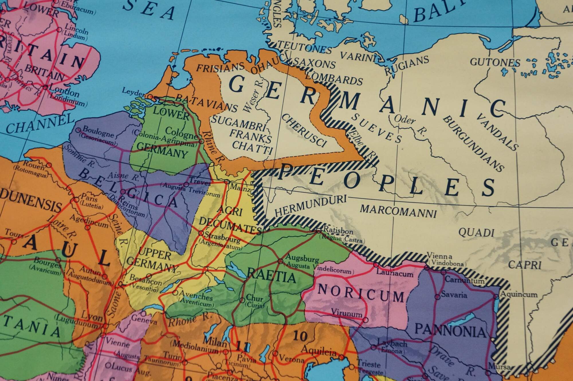
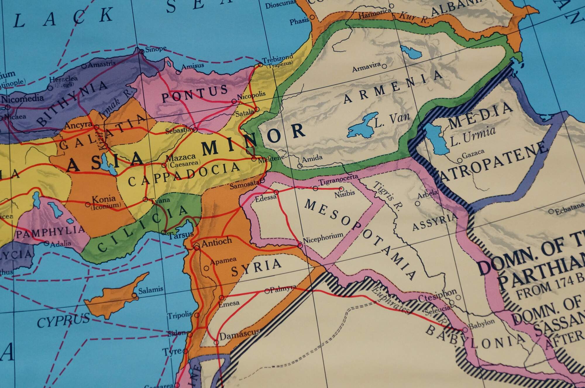
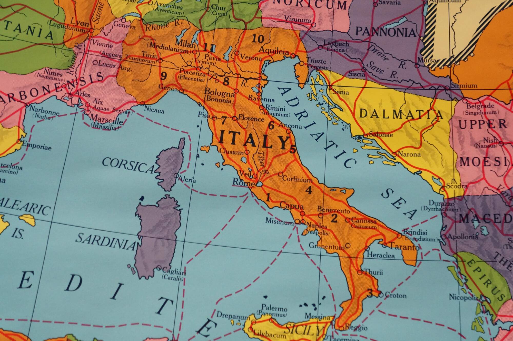
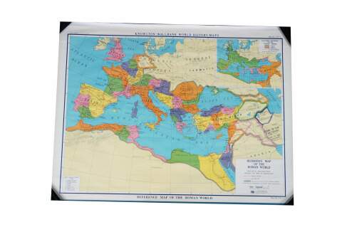
This rare antique classroom pull-down world history map, titled "Reference Map of the Roman World," belongs to the Knowlton-Wallbank World History Maps series published by A.J. Nystrom & Co. of Chicago. Cataloged as Map No. K.W. 5, this authentic piece of mid-century educational cartography details the provincial organization of the Roman Empire before the time of Diocletian. The main map features a vivid, high-contrast color scheme depicting territories spanning across the Mediterranean basin, Europe, North Africa, and the Near East, explicitly highlighting regions like Hispania, Gaul, Italy, and Asia Minor alongside neighboring groups like the "Germanic Peoples" and "Sarmatia." An detailed upper-right inset map illustrates the "Cultural Divisions of the Roman World," breaking down Greek, Roman, and Oriental cultural spheres of influence. Complete with its original top mounting framework and bottom wooden roller, this large-format historical map is in excellent vintage condition with crisp graphics, making it an exceptional display piece for a study, home library, or historical collection.
Condition
Gentle wear; some creases
Dimensions
50" x 38" (L x W)