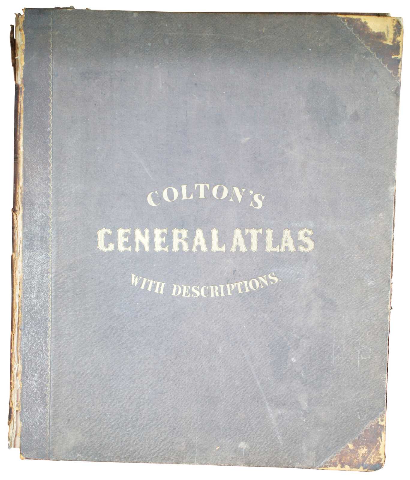


1857 Antique Coltons General Atlas World State Country Map Description Book 18"
Sold
Shipping:
Free Shipping Included
Delivery:
Estimated 2-15 Business Days
Payments:
Credit Card, Check, Cash, PayPal, Apple Pay, Venmo
Returns:
30 Days 100% Money Back Guarantee, Buyer Pays Return Shipping
Description
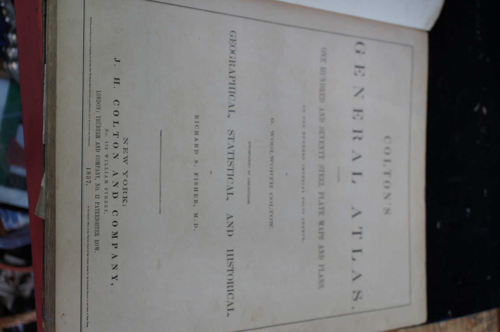
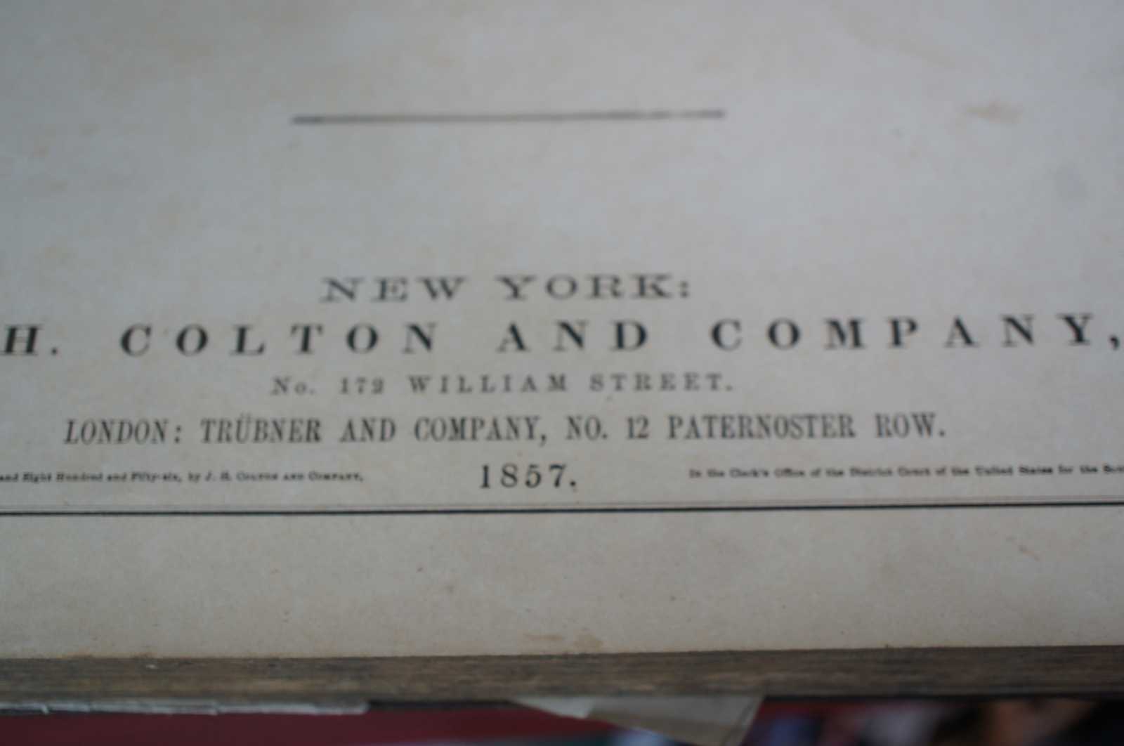
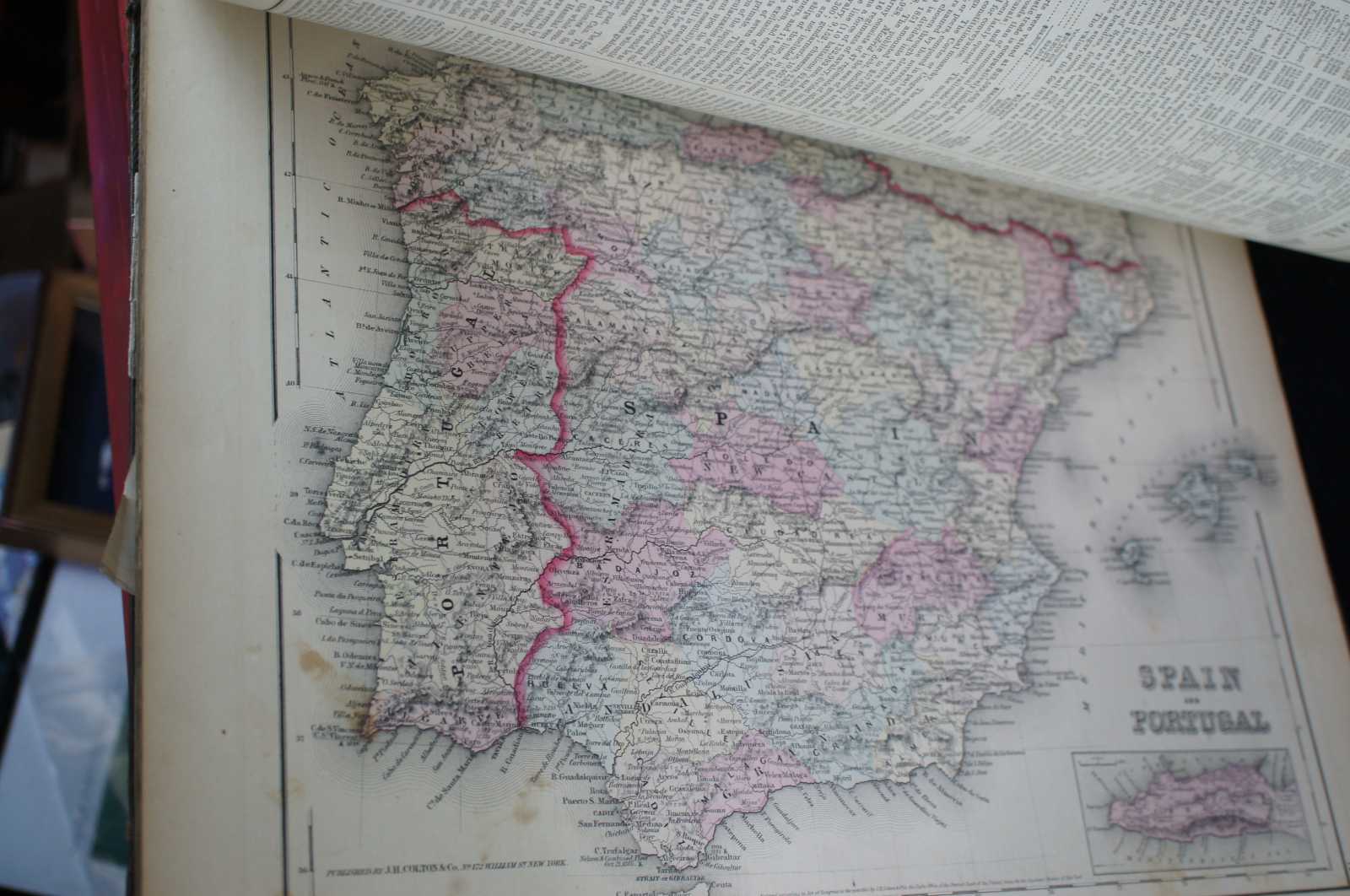
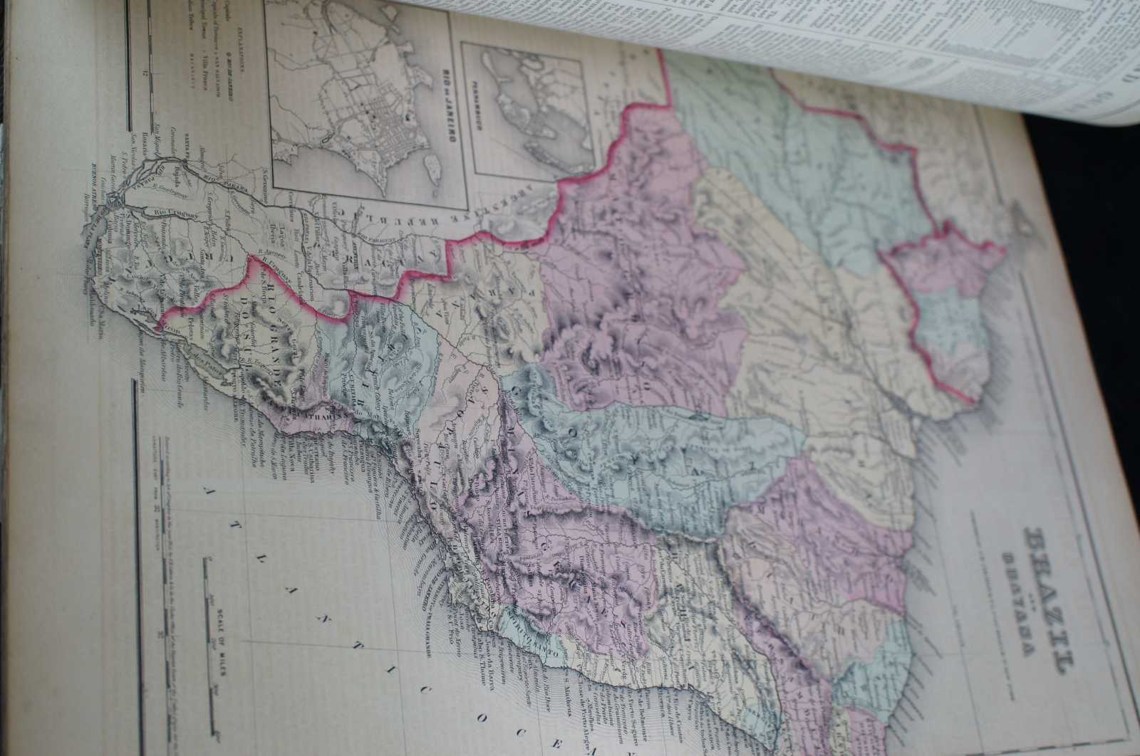
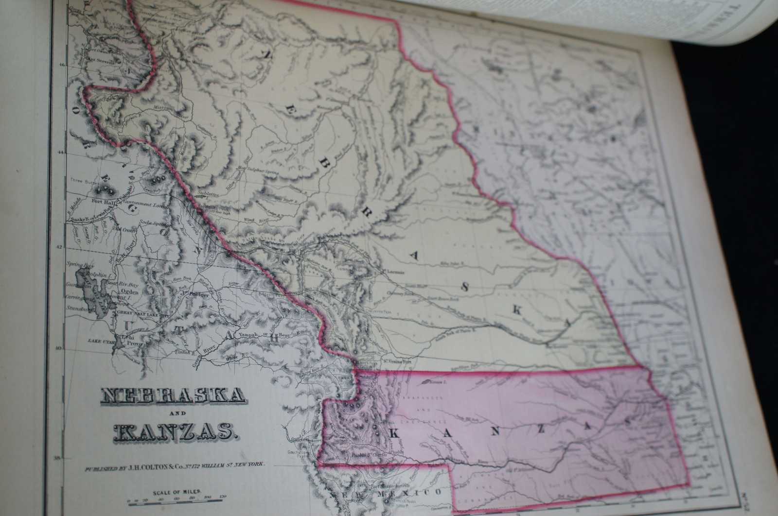
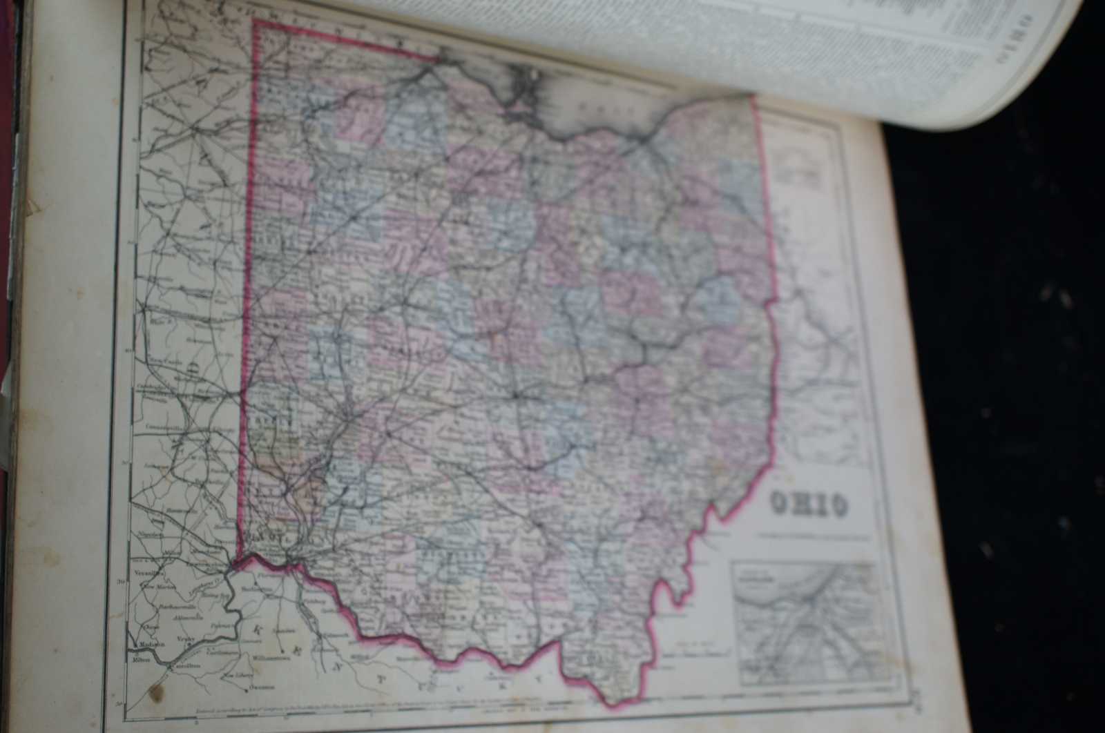
19th Century (1857) J.H. Colton and Company General Atlas, Geographical, Statistical and Historical, Richard Fisher, MD, New York, London, Trubner and Company,
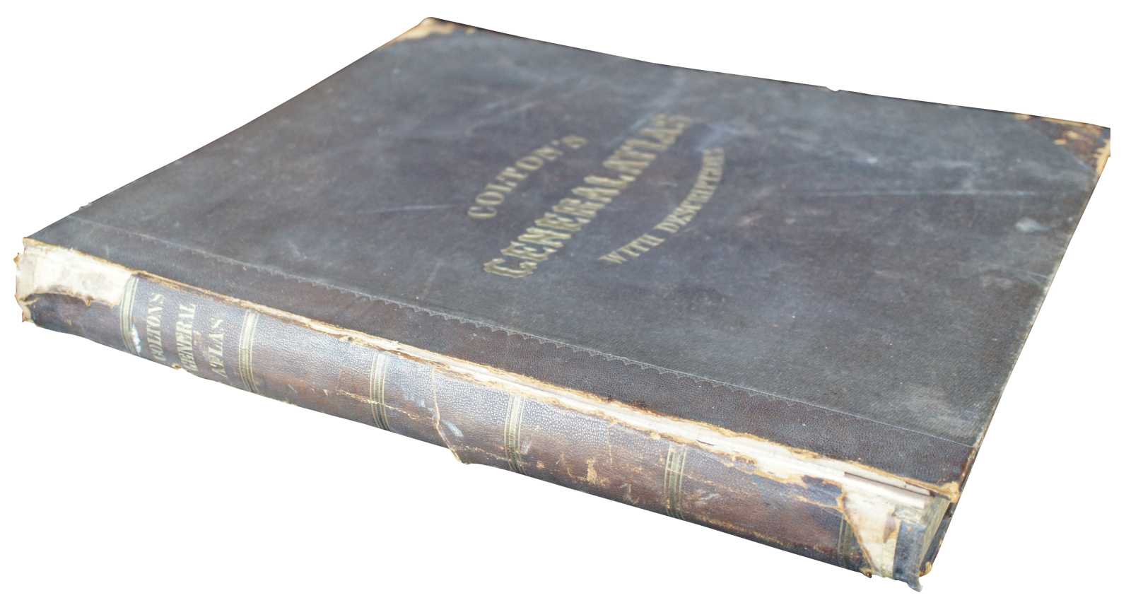
Jumbo Size 18” x 15”, Weighs almost 10lbs, Original Condition.
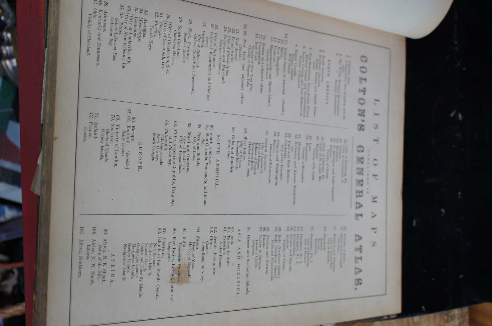
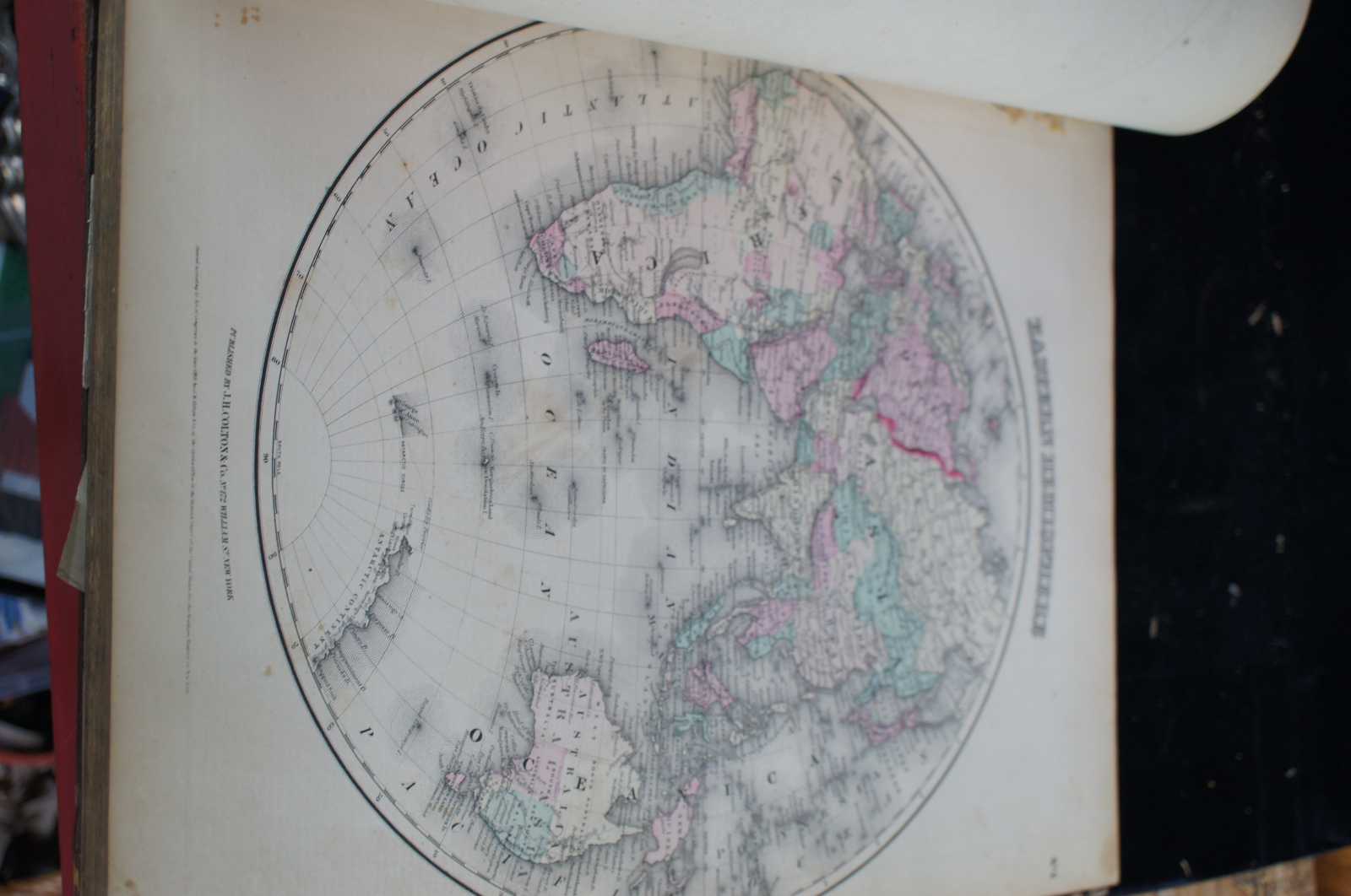
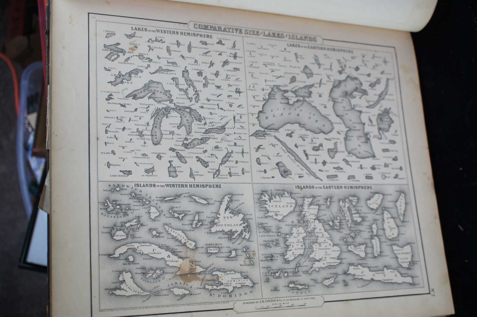
Hand coloured maps of U.S. States, plans of the major U.S. cities, and the countries of the world. The Atlas includes individual maps by continent, country, state, territory and city. Each regional map is accompanied by: Astronomical Position, Boundaries, Dimensions, Physical Aspects, Political, Population, Industry, Agriculture, Religion, Education, and History. The Atlas was published five years prior to the Civil War, the statistics include slaves and the ""free colored population."" Approximately half of the maps are devoted to the United States with state maps and city plans. Western Americana maps include: ""Nebraska and Kansas Territories,"" ""Oregon and Washington,"" ""Utah and New Mexico,"" etc. Double page jumbo maps of United States, New York City, Great Britain.
The maps are numbered; the atlas is complete, with all its maps and plans.
Condition
Good overall, wear and distressing commensurate with age and use, edge and corner wear, creasing, foxing.
Dimensions
17.75" x 15" x 2"