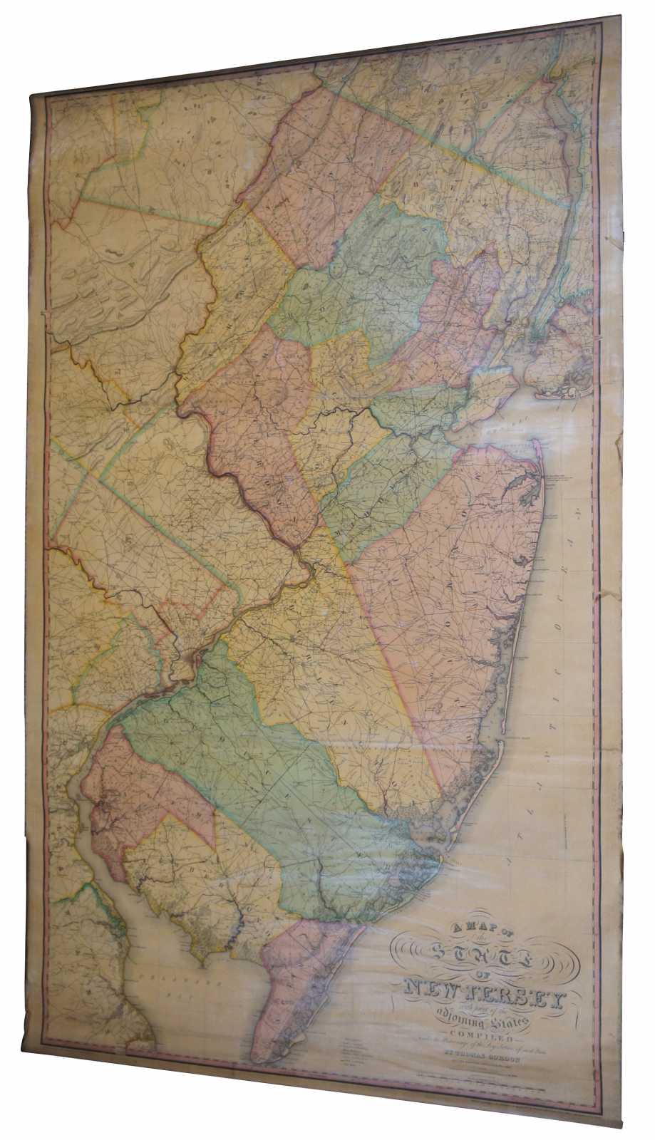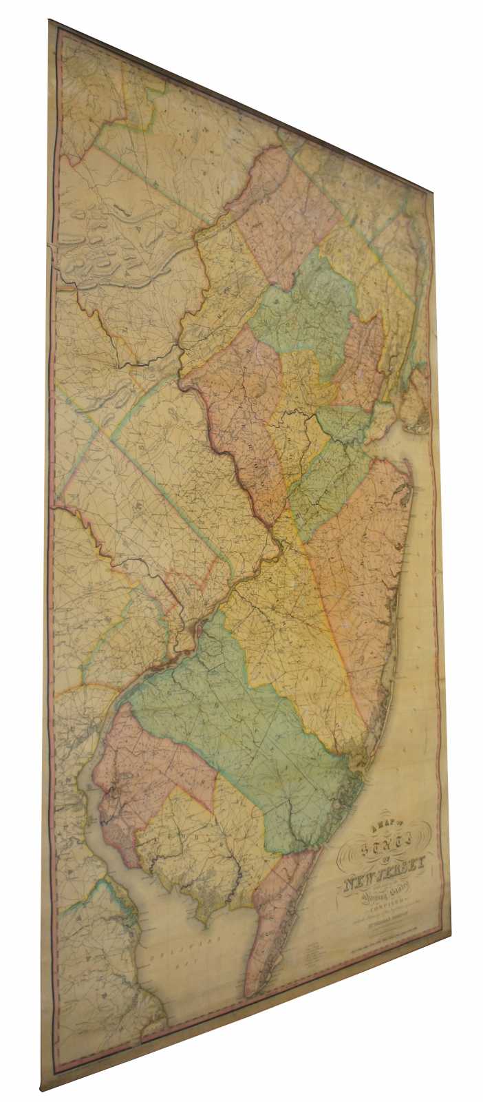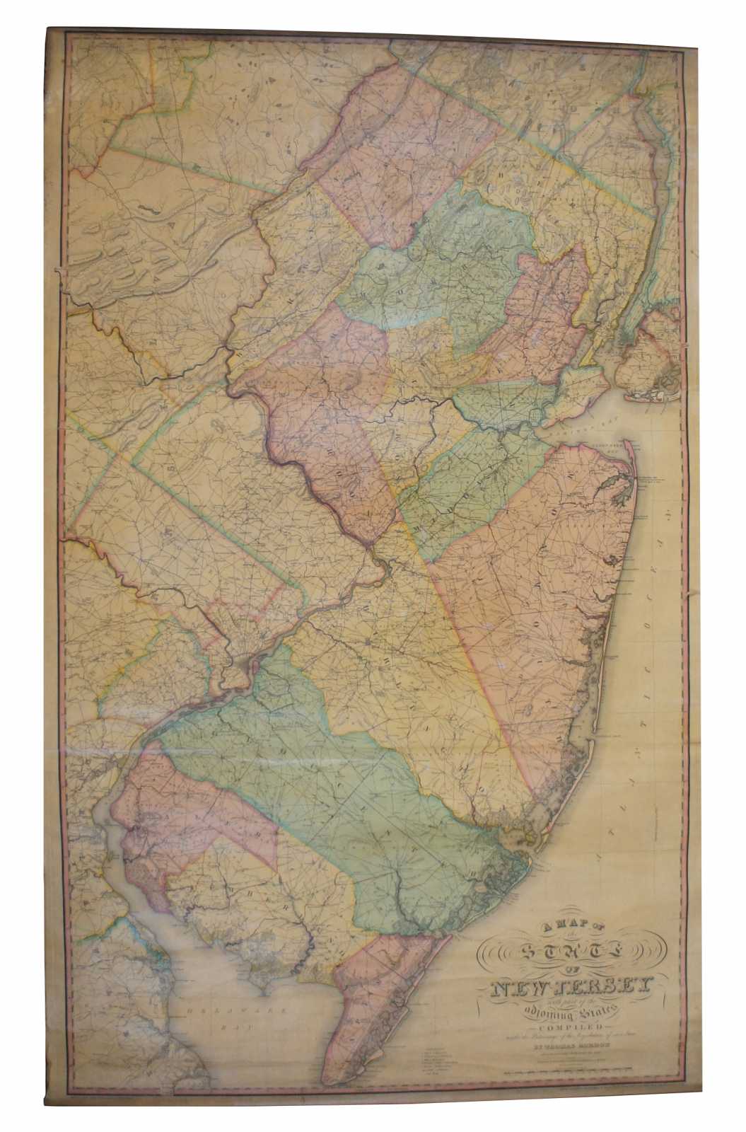
Antique 1833 Thomas Gordon Map of The State of New Jersey H.S. Tanner 58"
Sold
Shipping:
Free Shipping Included
Delivery:
Estimated 2-15 Business Days
Payments:
Credit Card, Check, Cash, PayPal, Apple Pay, Venmo
Returns:
30 Days 100% Money Back Guarantee, Buyer Pays Return Shipping
Description
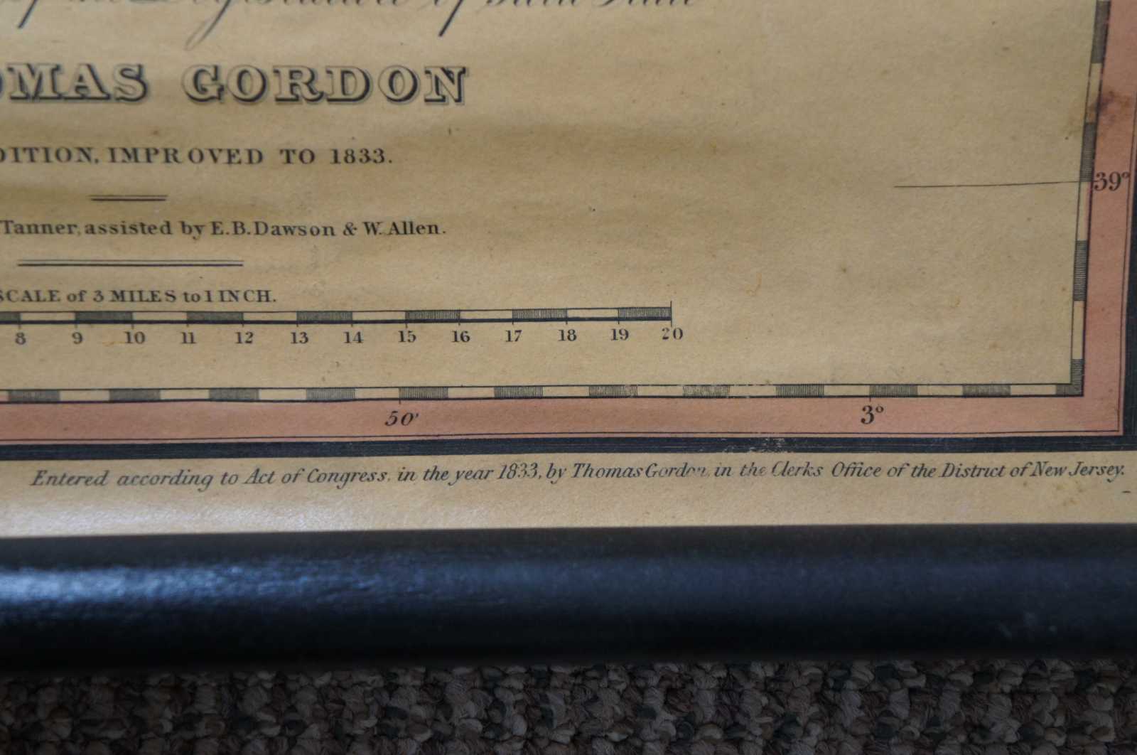
Antique wall hanging scroll map of the State of New Jersey with adjoining states compiled by Thomas Gordon, second edition, improved to 1833, engraved by H.S. Tanner, assisted by E.B. Dawson and W. Allen. Thomas Gordon (1778-1848) was a Trenton based judge, lawyer, surveyor and cartographer. Gordon was born in Amwell New Jersey and relocated as a young man to the larger city of Trenton. He studied law and mathematics and subsequently set up practices in both law and surveying. He is best known in cartographic circles for his production of this impressive wall map of New Jersey – the first government sponsored map of that state. Gordon died and was buried in Trenton, NJ. Thomas Gordon's official map of New Jersey is the first large format map of New Jersey printed in the US. In 1822, the New Jersey state legislature commissioned Thomas Gordon to compile and published an official state map. Six years later, in 1828, Gordon published this remarkable large wall map of the state, which was engraved by Henry S. Tanner, E.B. Dawson and W. Allen.
The map was advertised in the July to December1827 editon of The Port Folio, Vol II of Hall's Second Series, at page 158-159, which states:
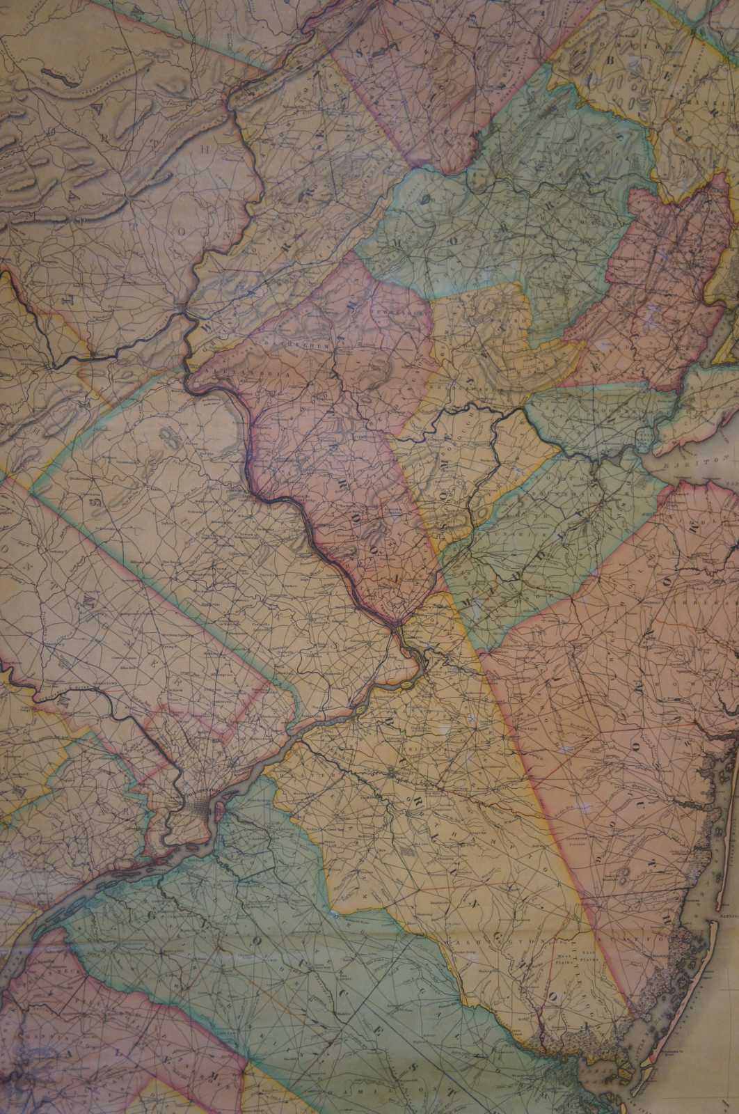
Thomas Gordon, Esq. of Trenton, proposes to publish by subscription, an accurate map of the state of New Jersey, with part of the adjoining states; this map is compiled from original materials, procured from the most authentic sources, and where these failed, they have been supplied by actual surveys, so that no reasonable expense or pains have been spared to render this map acceptable to the public. It is projected on a scale of three miles to an inch, forming a map of thirty-three by fifty-seven inches, on which is exhibited all the counties and townships in the state, with the waters, canals, roads, cities, towns, churches, mills, mountains, &e. in the most conspicuous manner; this work is now in the hands of a very skilful map engraver, and will be issued in October next.
Rumsey notes that while the map appears occasionally in dissected format, the wall map version of the map is especially rare.
Gordon's map was the product of the extensive local surveys and provided details of towns, rivers and lakes, and the state's road system. Gordon's map became the standard for accurate and detailed mapping of the state. Gordon and Tanner reissued a second edition in 1833. Thereafter, Robert E. Horner issued editions that were ""revised, corrected and improved"" in 1849, 50, 53 and 54, which were newly engraved by Edward Yeager.
Condition
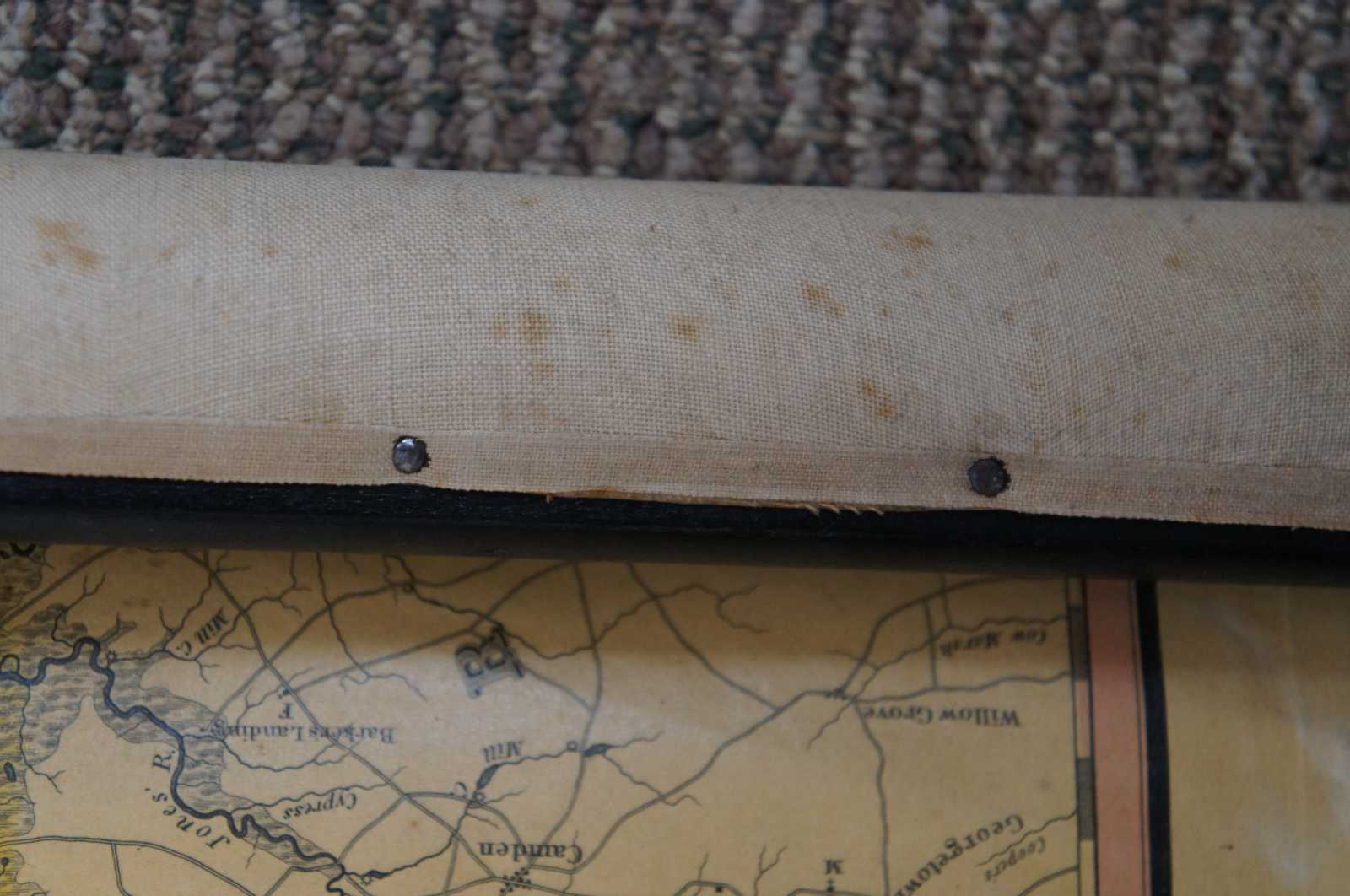
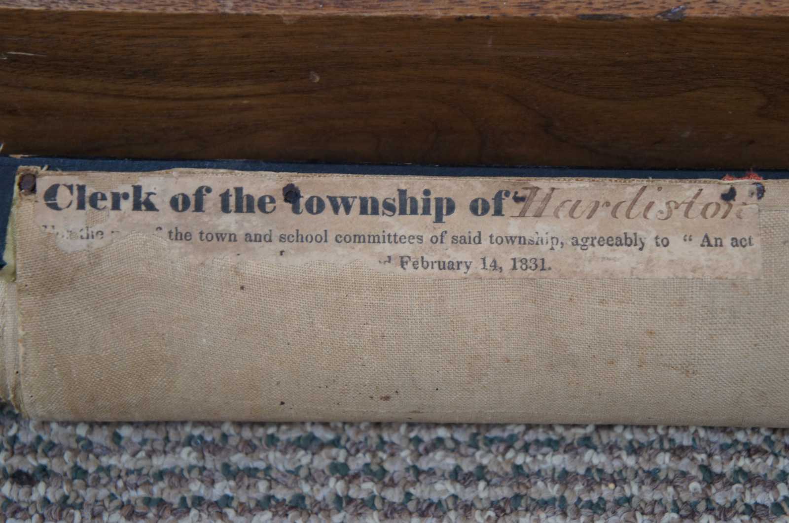
Good Antique Condition - loose/missing trim along sides; some marks to wood supports; see pictures
Dimensions
39” x 1” x 58” (Width x Depth x Height)
