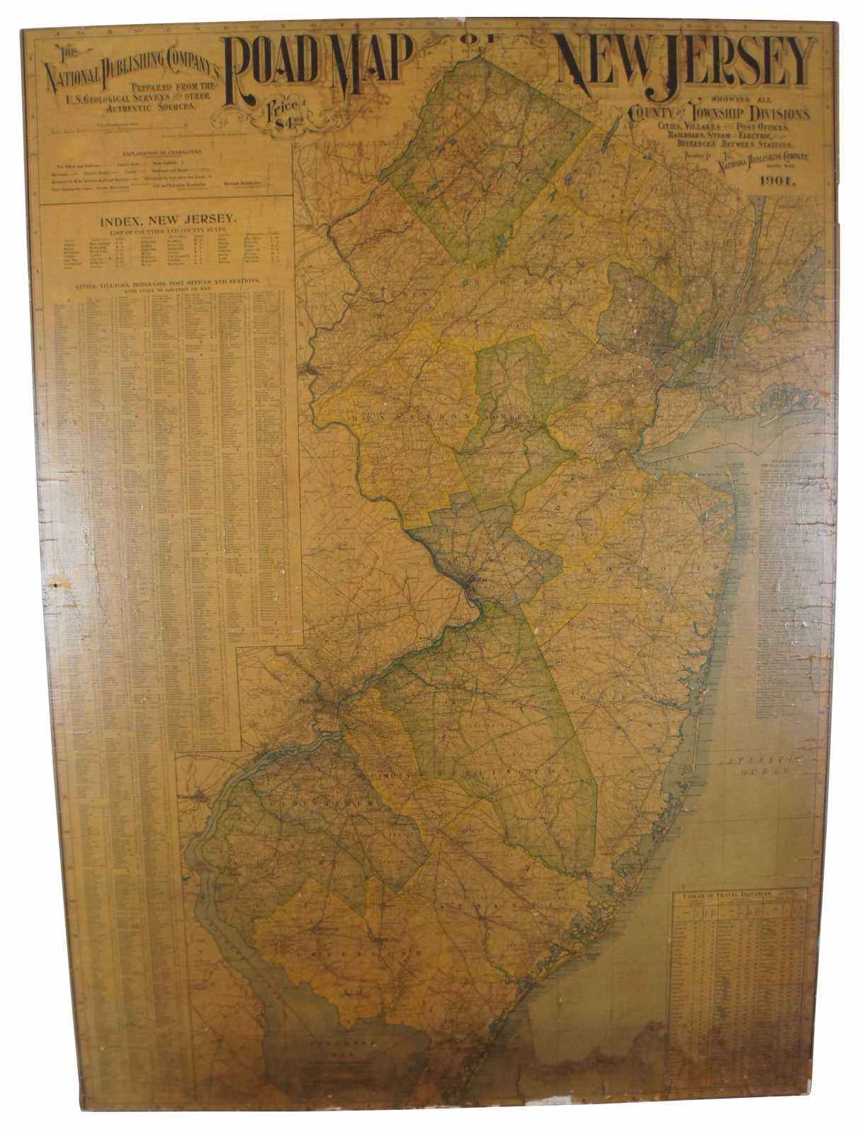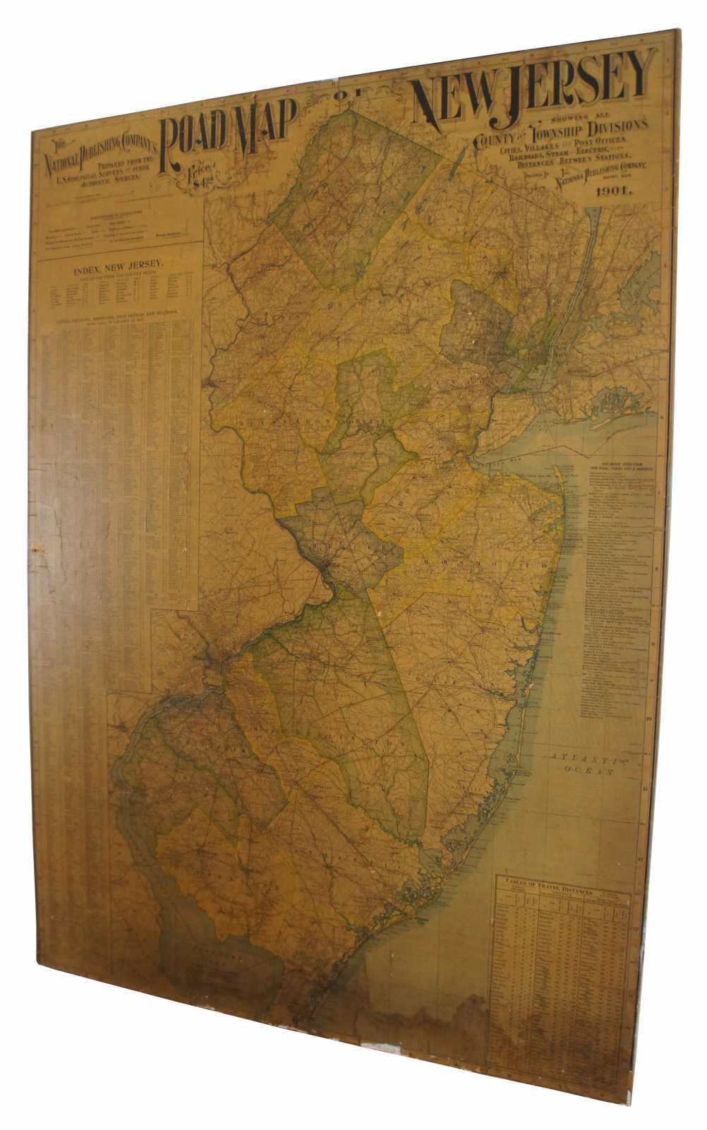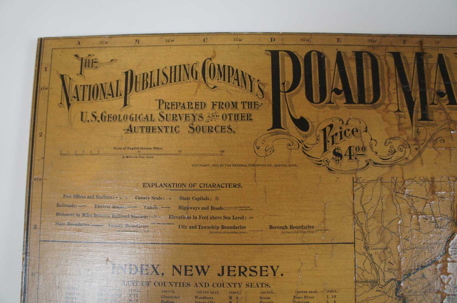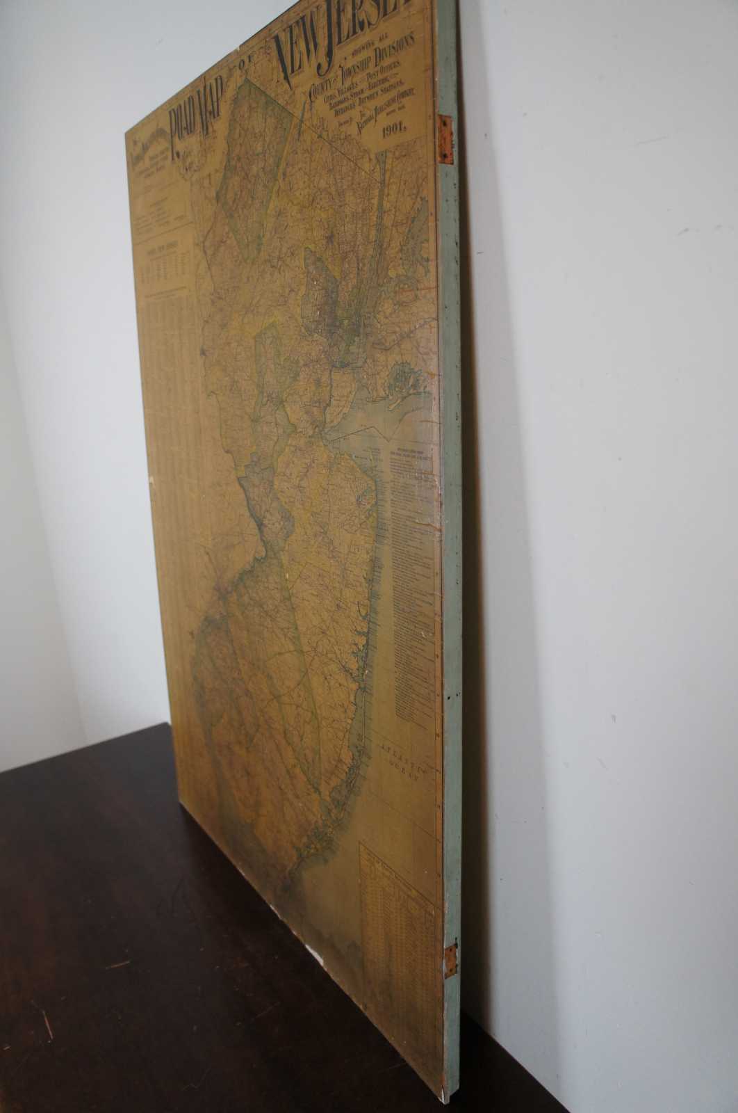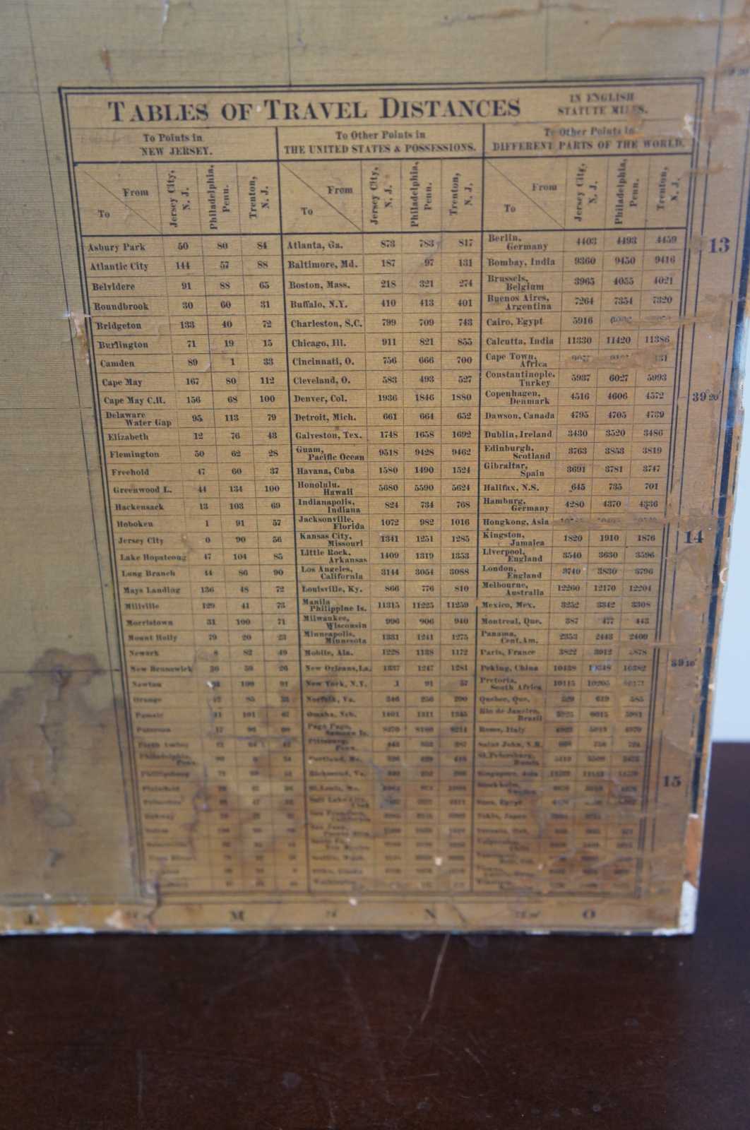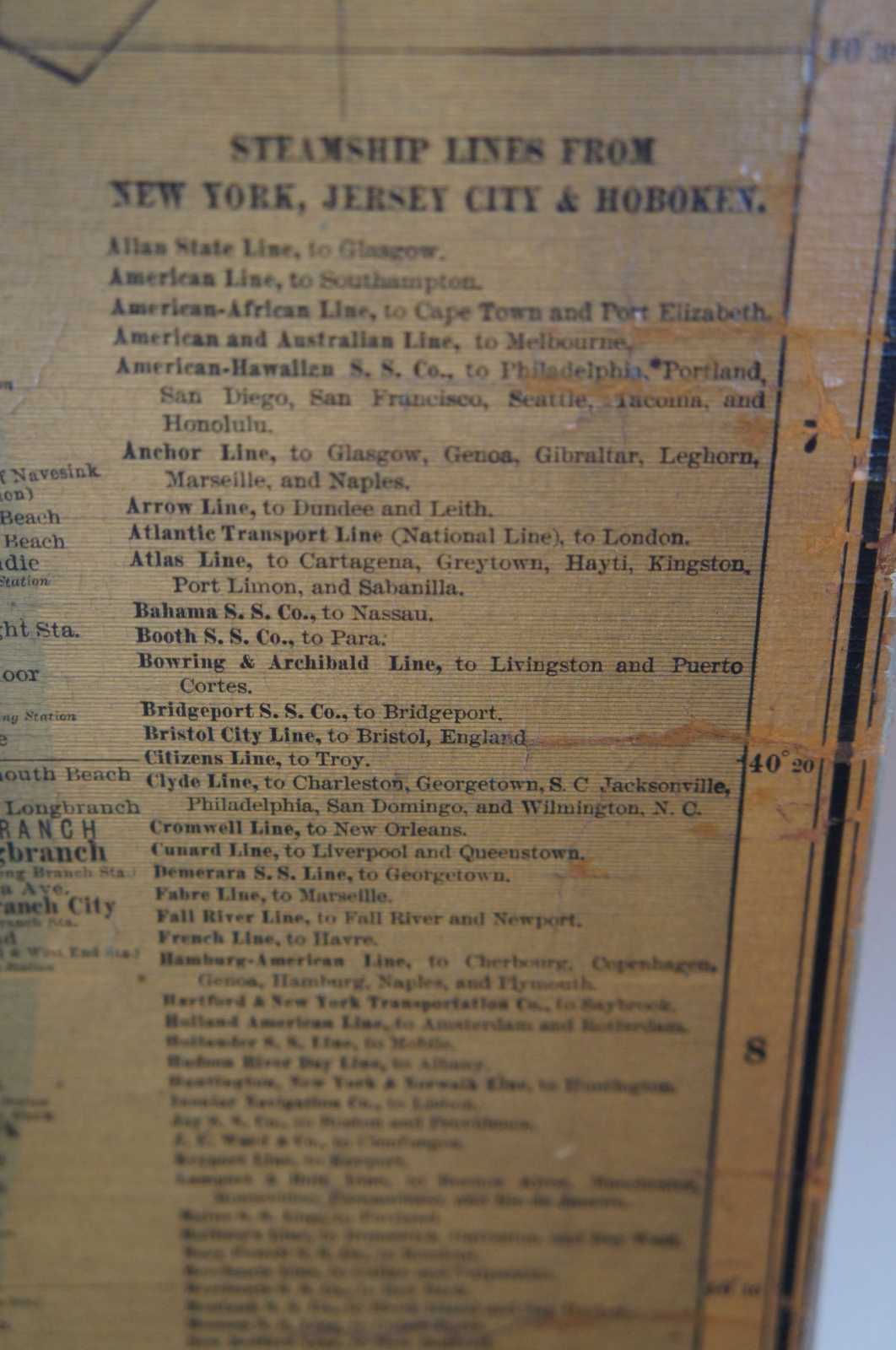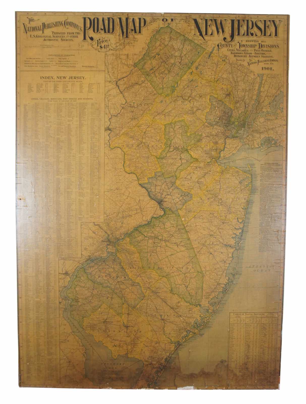
Antique 1901 National Publishing Company's Road Map of New Jersey Geological 42"
$400.00
Shipping:
Free Shipping Included
Delivery:
Estimated 2-15 Business Days
Payments:
Credit Card, Check, Cash, PayPal, Apple Pay, Venmo
Returns:
30 Days 100% Money Back Guarantee, Buyer Pays Return Shipping
Description
The National Publishing Company's road map of New Jersey, showing all county and township divisions, cities villages and post-offices, railroads, steam and electric, with distances between stations. 4 miles to 1 inch. This map has been mounted to board with old hinge marks seen along the right edge. Believed to have been used in a School type of setting.
Condition
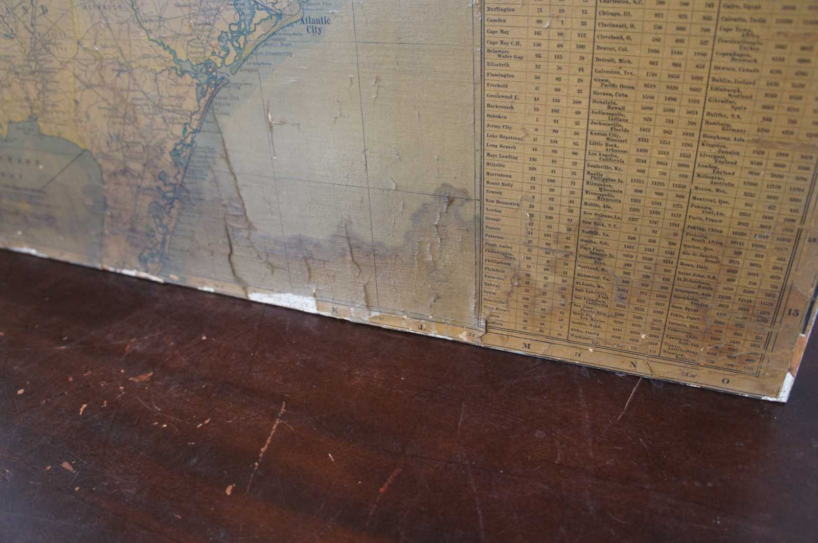
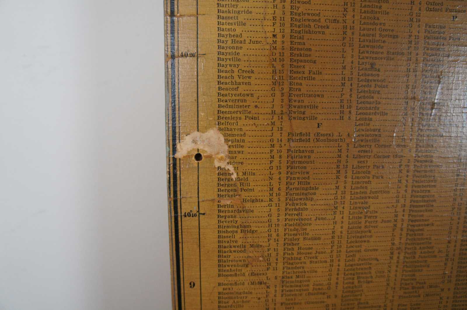
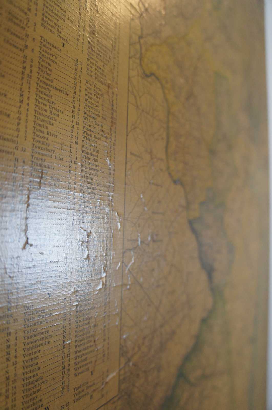
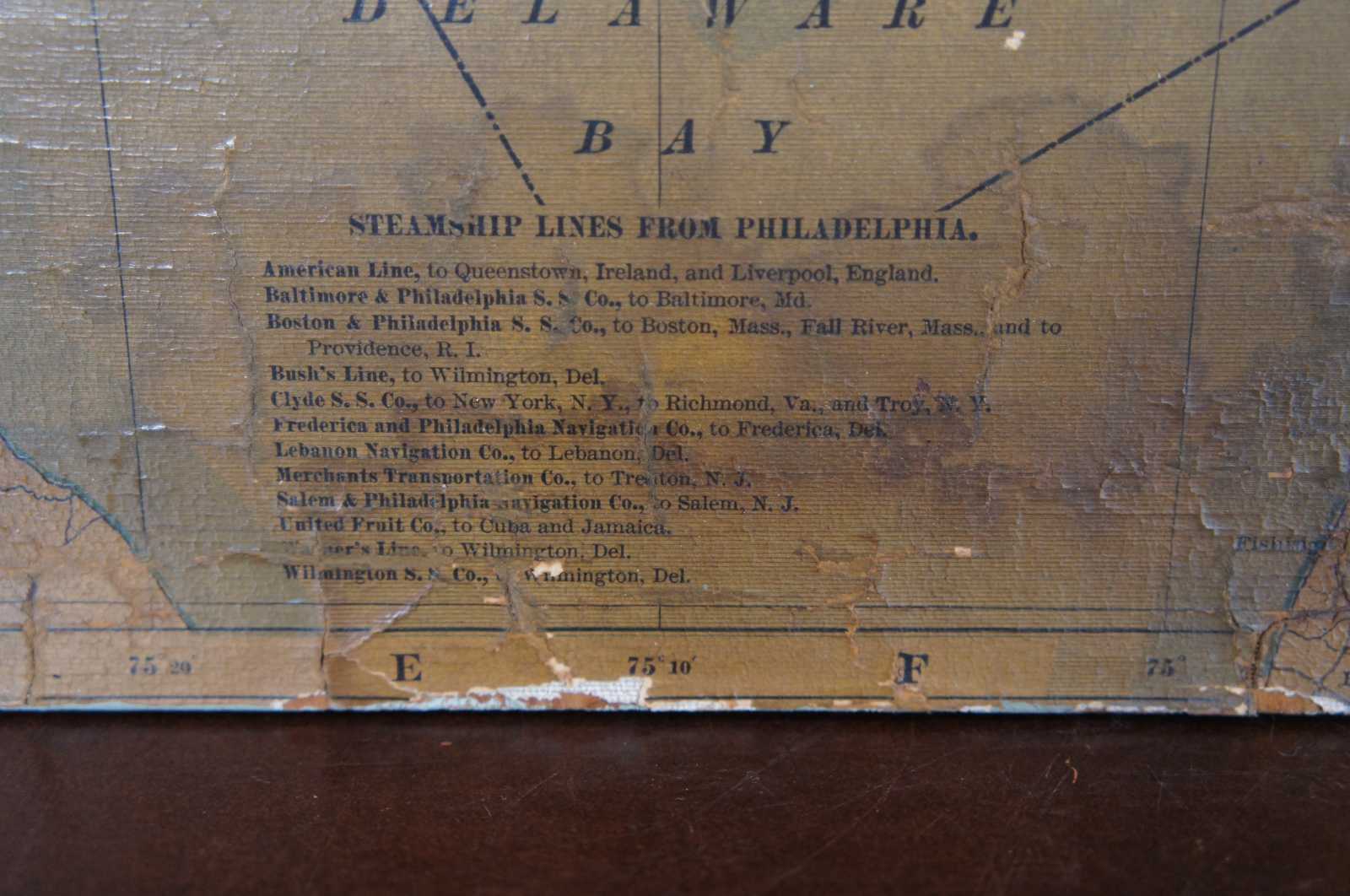
Fair condition, wear and distressing, alligatoring / crazing, pin hole see pictures.
Dimensions
30.5" x 42.25" x .75"
